DATE ISSUED: Monday, 12 August, 2024 TIME: 11:15 AM (15:15UTC)
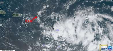
At 11:00am, Potential Tropical Cyclone #5 continues to move quickly towards the Lesser Antilles, while getting more organized. St. Maarten is now under a Tropical Storm Warning as of 8:00am.
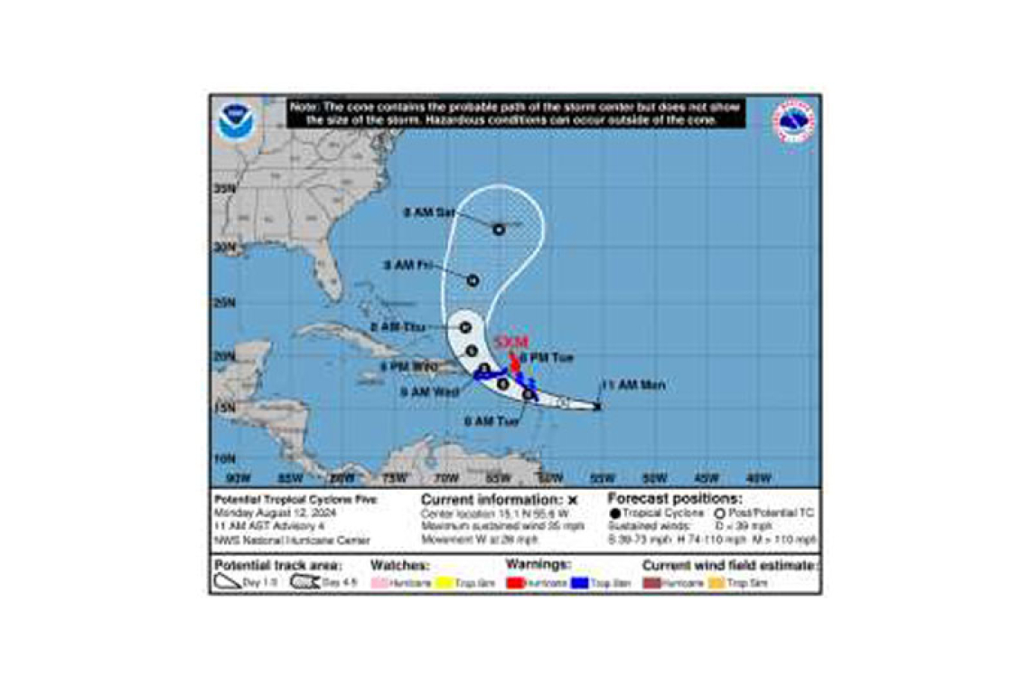
- At 11:00am, Potential Tropical Cyclone #5 was located at 15.1N 55.6W, or approximately 540 miles east-southeast of St. Maarten.
- This system is moving quickly west at 26 mph (43 km/h) with maximum sustained winds increased to 35 mph (55 km/h) and higher gusts. Further strengthening is forecast, and the system is expected to become a tropical storm later today or tonight.
- Based on the current forecast track, its closest point will be approximately 85 miles south of St. Maarten on Tuesday evening.
POTENTIAL IMPACTS FOR ST. MAARTEN:
- Seas: Very Rough seas (up to 14 feet), mainly along the southern and eastern shores with ground swells from late Monday through Thursday. Interests along the coast should take the necessary actions to preserve life and property. A Small Craft Advisory is in effect until further notice, which would likely be upgraded to a Small Craft Warning later today.
- Weather: Cloudy to overcast skies, scattered showers and thunderstorms (up to 6 inches of accumulated rainfall), and possible tropical-storm-force winds with higher gusts. Flooding and rockslides are anticipated in vulnerable areas.
Residents and visitors are urged to finalize preparations and monitor all subsequent updates. The Meteorological Department of St. Maarten will continue to monitor the progress of this system and update the public accordingly


