NWS National Hurricane Center Miami FL
800 AM EDT Tue Jun 22 2021
For the North Atlantic...Caribbean Sea and the Gulf of Mexico:
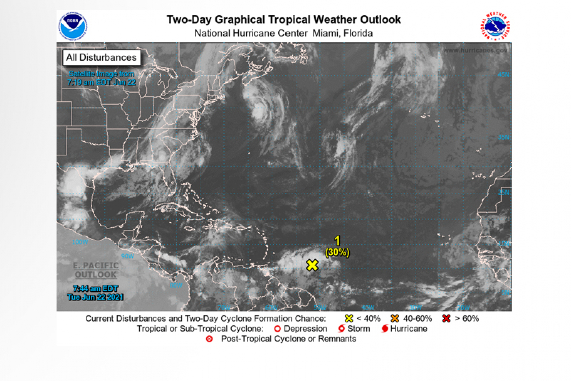
 1. Showers and thunderstorms have increased in coverage associated with the tropical wave located more than 500 miles east of the Eastern Caribbean. Some additional development of this disturbance is possible over the next couple of days before upper-level winds become less conducive for further organisation by Thursday. The system is expected to move westward to west-northwest at 15 to 20 mph.
* Formation chance through 48 hours...low...30 percent.
* Formation chance through 5 days...low...30 percent.
Forecaster Papin/Cangialosi


