NWS National Hurricane Center Miami FL
800 AM EDT Fri Sep 27 2024
For the North Atlantic...Caribbean Sea and the Gulf of Mexico:
Active Systems:
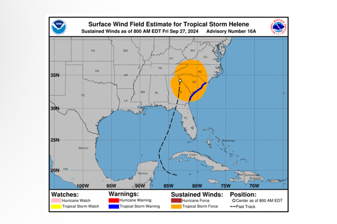
The National Hurricane Center is issuing advisories on Tropical Storm Helene, located inland over northeast Georgia and on recently upgraded Hurricane Isaac, located over the central Subtropical At-lantic Ocean.
Central Tropical Atlantic (AL98):
 Showers and thunderstorms associated with an area of low pressure located midway in between the Cabo Verde Islands and the Lesser Antilles continues to become better organized. This disturbance is already producing gale-force winds. Environmental conditions are conducive for further development and a tropical depression or storm could form today while the system moves generally westward to west-northwestward at 10 to 15 mph. The system is then forecast to slow down and turn north-northwestward by this weekend. Additional information on this system, including gale warnings, can be found in High Seas Forecasts issued by the National Weather Service.
* Formation chance through 48 hours...high...90 percent.
* Formation chance through 7 days...high...90 percent.
Western Caribbean:
An area of low pressure could form over the western Caribbean Sea by the middle of next week. En-vironmental conditions are expected to be conducive for slow development thereafter while the sys-tem moves generally northwestward, potentially entering the Gulf of Mexico by the end of next week.
* Formation chance through 48 hours...low...near 0 percent.
* Formation chance through 7 days...low...30 percent.
Eastern Tropical Atlantic:
An area of low pressure could form over the eastern tropical Atlantic by the early to middle part of next week. Environmental conditions are expected to be conducive for slow development thereafter while the system moves generally northwestward at 10 to 15 mph.
* Formation chance through 48 hours...low...near 0 percent.
* Formation chance through 7 days...low...20 percent.
Forecaster Kelly/Rosado


